Forest That
Earns Its Keep.
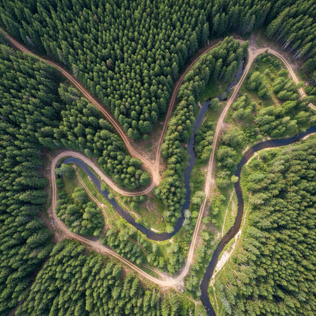
We walk your timber stand with clinometers and chainsaws, turning three generations of overgrown pine into fire-resistant forest that pays for itself in twenty years.
Six Phases.
Nothing Hidden.
By the time you reach the end of this page, you'll understand exactly what a Canopy engagement looks like — from the first walk to the tenth annual report.
Stand Cruise & Inventory
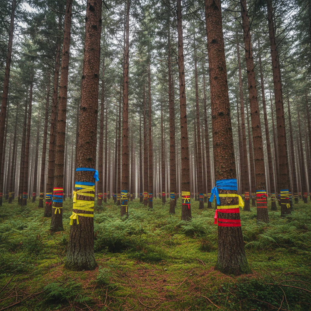
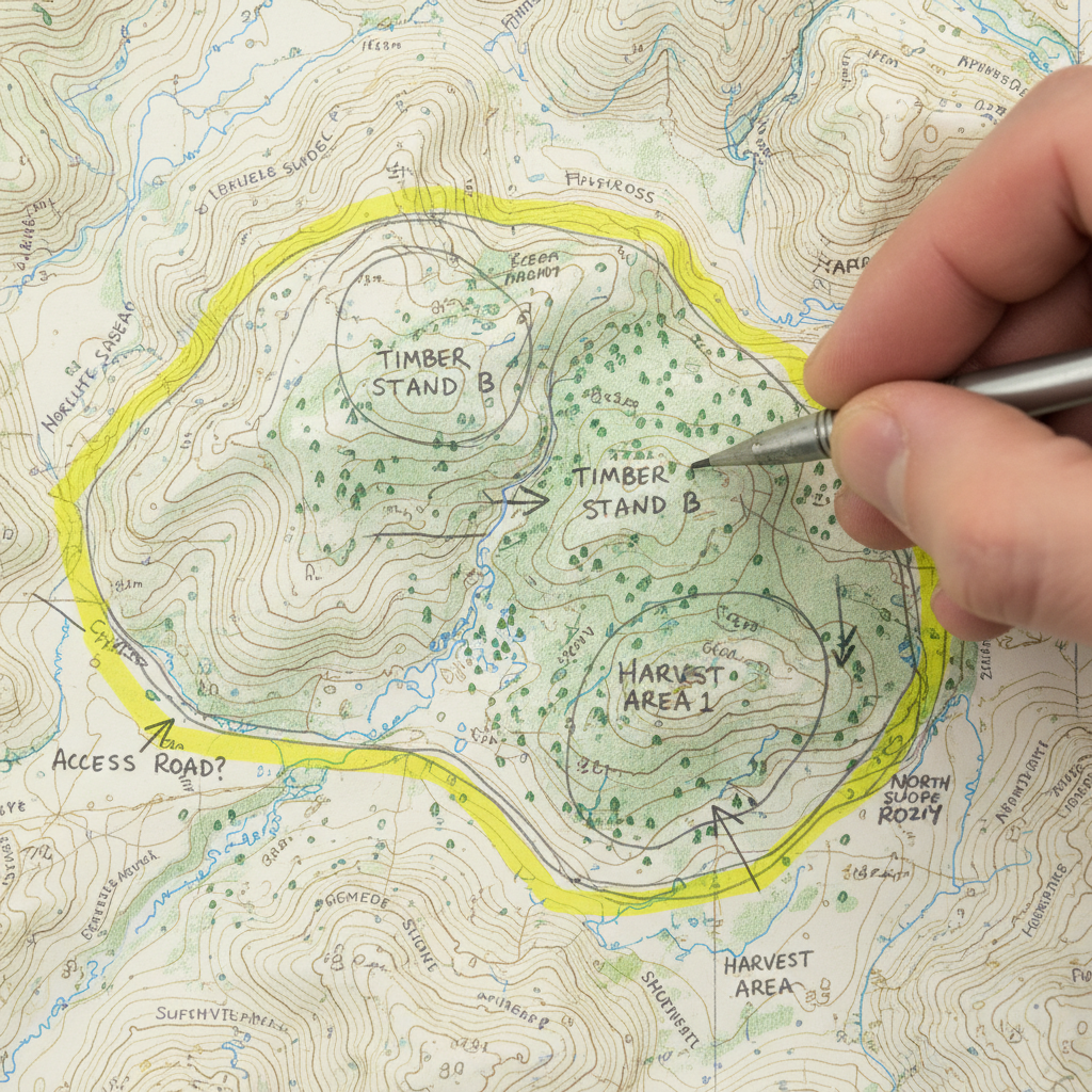
Our cruisers walk systematic transects with clinometers, diameter tapes, and GPS units. We measure basal area, species composition, stocking density, and site index. Every significant hazard tree, creek buffer, and sensitive area is flagged.
Includes species-by-species tally, basal area per acre by stand unit, and a georeferenced stand boundary map.
Prescription Development
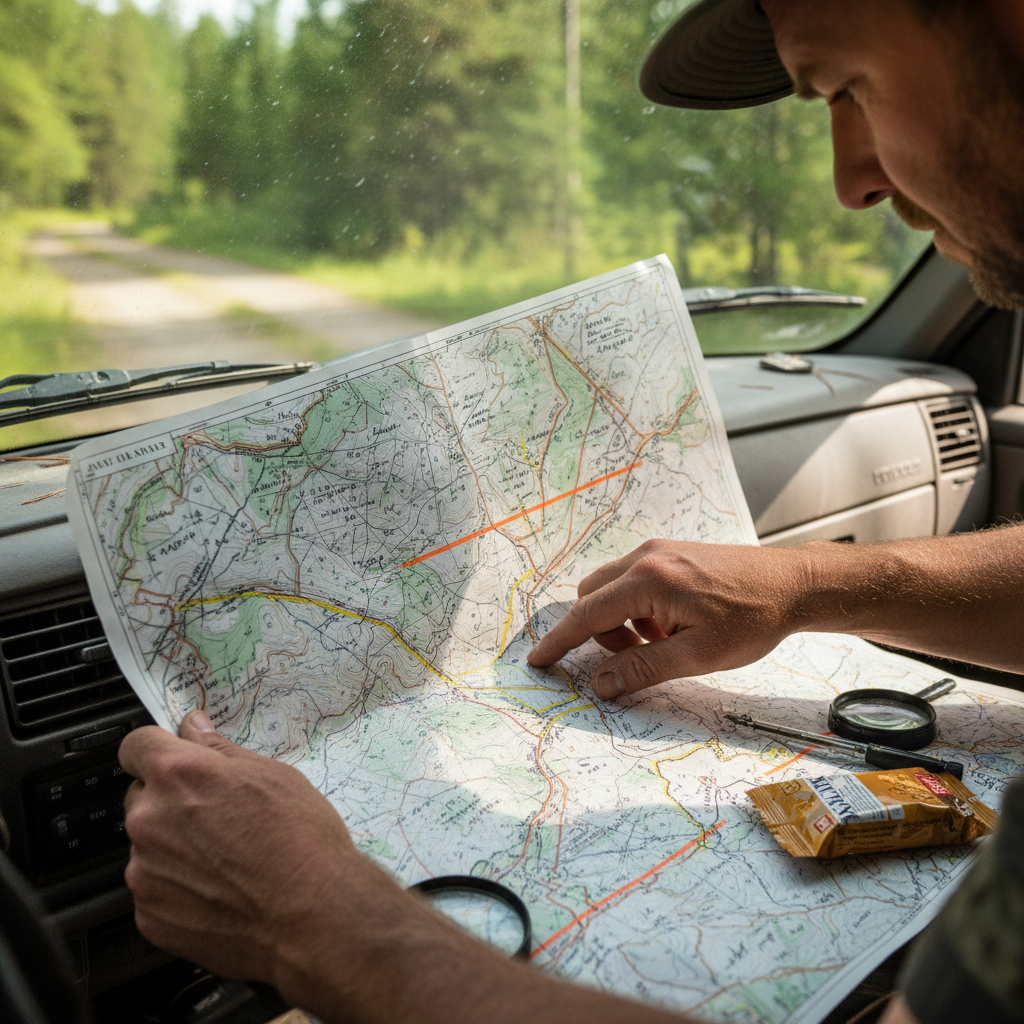
Using cruise data, we develop a written silvicultural prescription — not a template, but a stand-specific document that specifies residual stocking targets, species to retain, buffer widths, and the sequence of operations over the planning horizon.
Binding document specifying residual basal area targets, species composition goals, and a 10-year operational timeline.
Harvest Layout
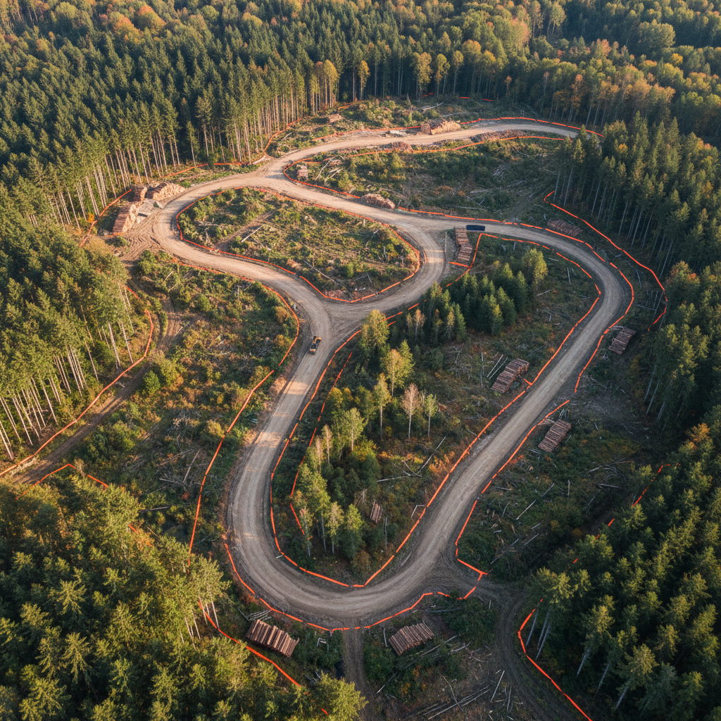
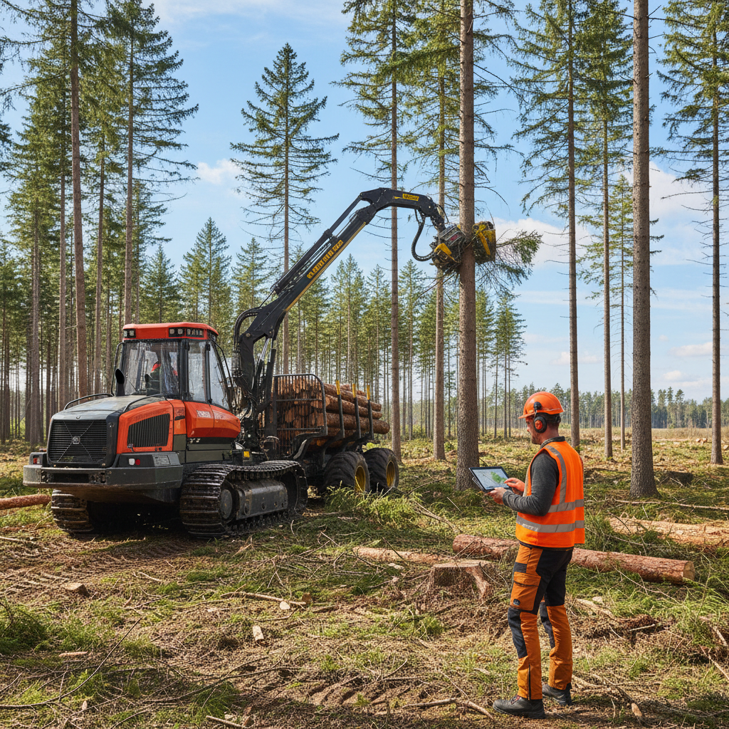
Skid trail networks, landing locations, and haul routes are designed and flagged on the ground before equipment arrives. Exclusion zones — creek buffers, owl sites, steep slopes — are painted and GPS-logged. Nothing is improvised in the field.
GIS-produced map showing skid trail network, landing locations, and all exclusion zones marked in red. Provided to contractor before mobilization.
Contractor Mobilization
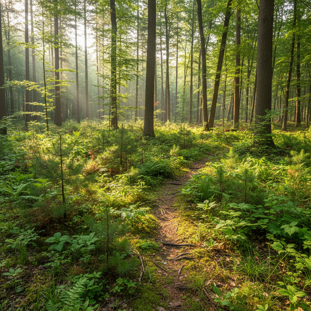
We work with a vetted network of licensed, bonded logging contractors who understand prescription-driven work. We provide daily oversight during active harvest, with a Canopy forester on-site or within two hours for every operation.
Timestamped field notes documenting daily progress, any deviations from prescription, and corrective actions taken.
Post-Harvest Monitoring
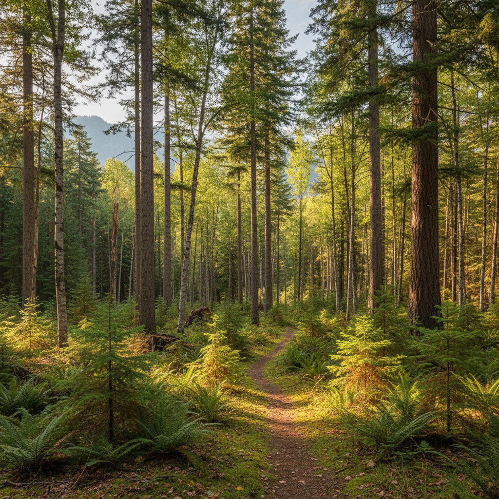
Within 30 days of harvest completion, we walk the entire operating area to document residual stocking, road and trail condition, and any erosion or compaction issues. Remediation is contracted and completed before final payment is released.
Photo-documented site walk with residual stocking measurements, erosion inventory, and contractor remediation sign-off.
Long-Term Stewardship
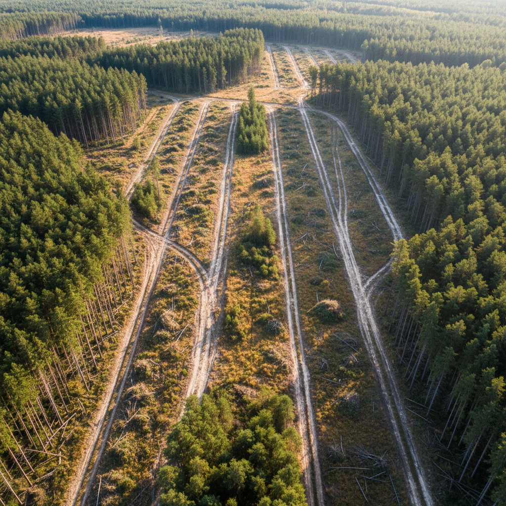
Each client receives an annual stewardship report: updated stand inventory, a photo comparison from permanent monitoring plots, a summary of what changed, and recommendations for the next 12 months. We treat your land like we own it.
Includes updated aerial imagery, permanent plot photo comparisons, stand growth projections, and next-year operational recommendations.
You See Every Map,
Every Report, Every Photo.
We don't summarize our work — we hand you the actual documents. Sample deliverables from active engagements, below. Client names redacted, methodology intact.
Stand Boundary Map
GPS-derived boundary with stand unit delineation and stream buffers.
Silvicultural Prescription
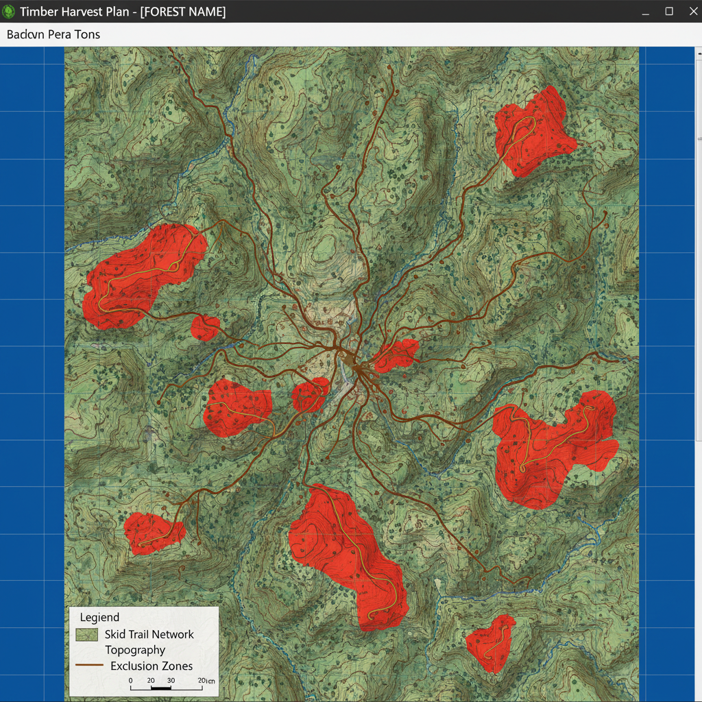
Harvest Map
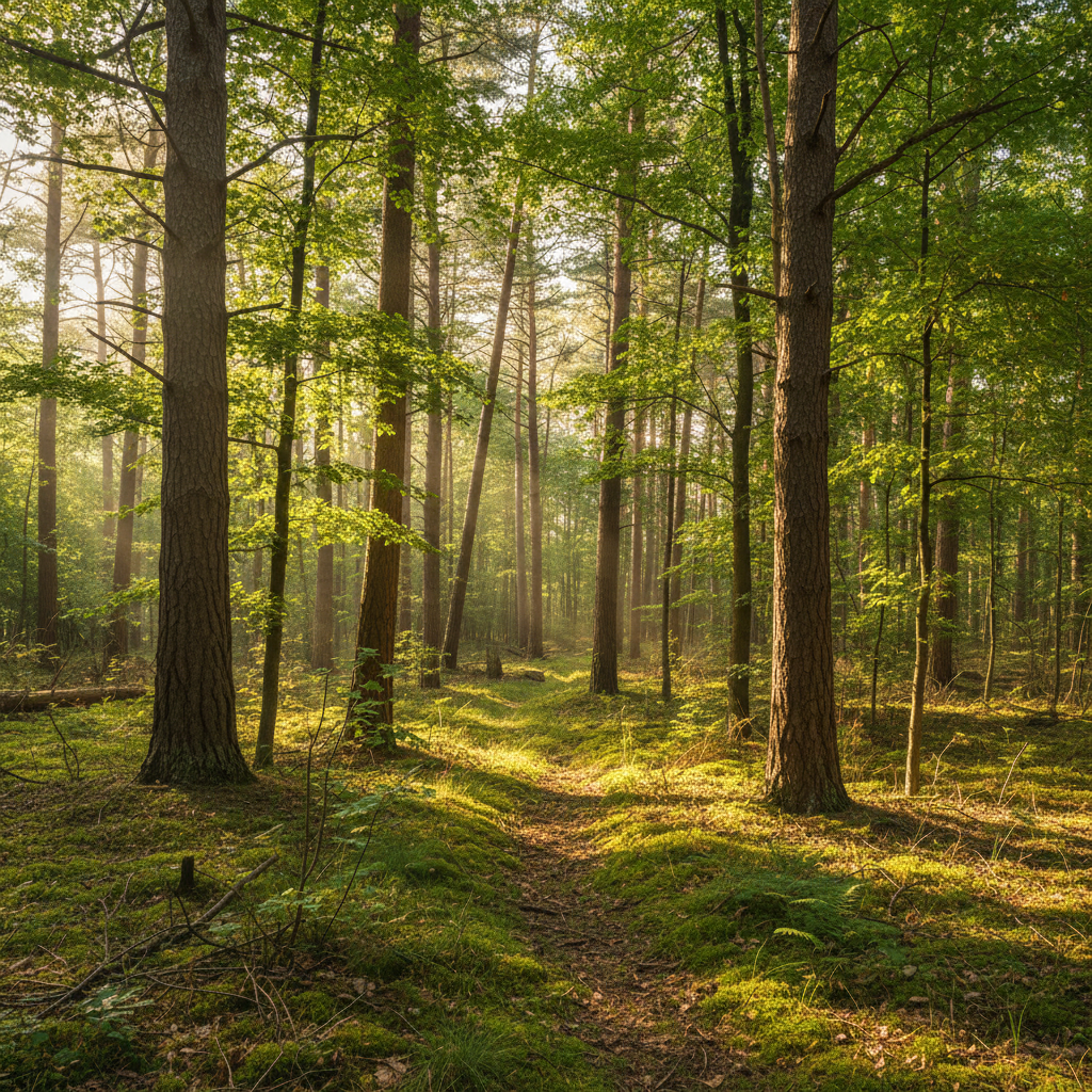
Post-Harvest Report
The Land Remembers
What You Did to It.
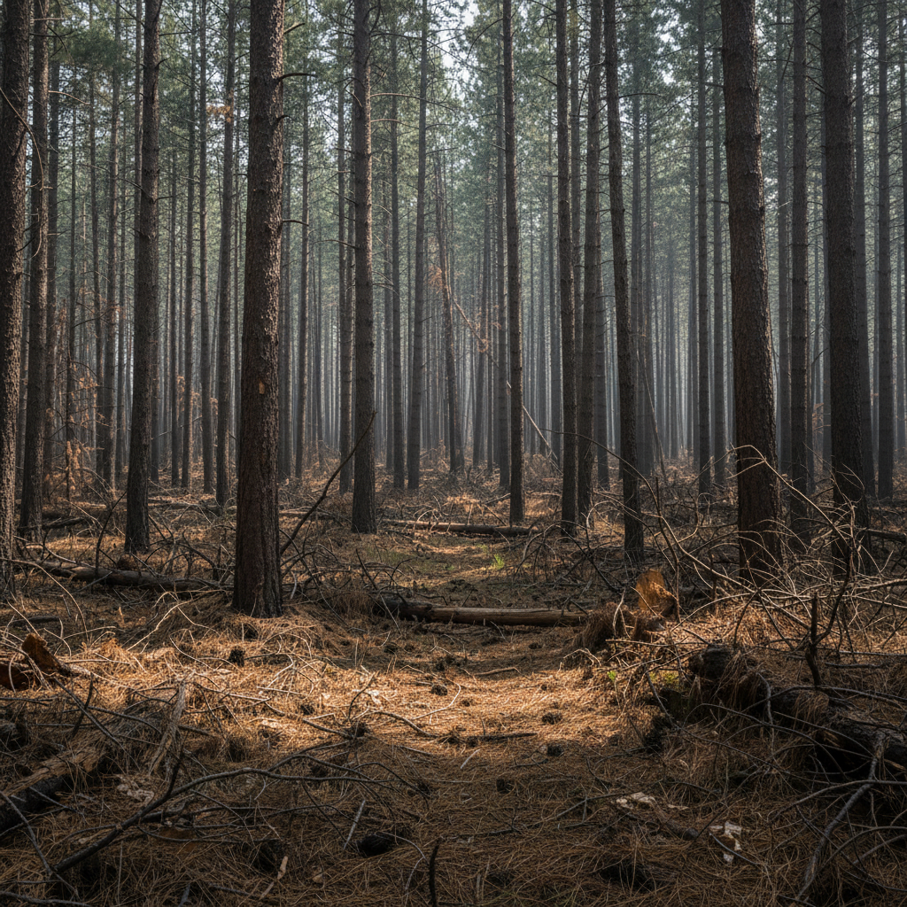
Drag the slider to compare a 680-acre family timberland in Shasta County, California — before our first cruise in 2014 and after a decade of active stewardship.
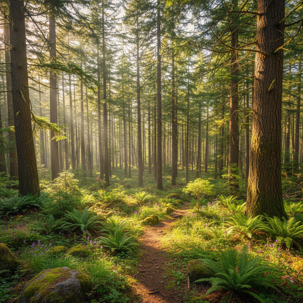
Two Ways In.
Request a no-cost stand assessment — we'll walk your land and tell you what we see. Or download our sample management plan first, if you'd rather evaluate our rigor before committing to a call.